i4D - demos and videos
Project of MTA SZTAKI
Demos on data processing of mobile and terrestrial mapping systems
|
|
 |
|
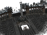 |
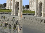
Topcon dataset: data interpretation and surface reconstruction from Topcon measurements. Distance measurement tool for Ladybug panoramic images. Data provided by Konasoft Ltd. 2013. |