GeoComp demos
Research Group on Geo-Information Computing (GeoComp)
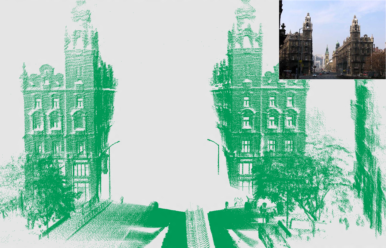
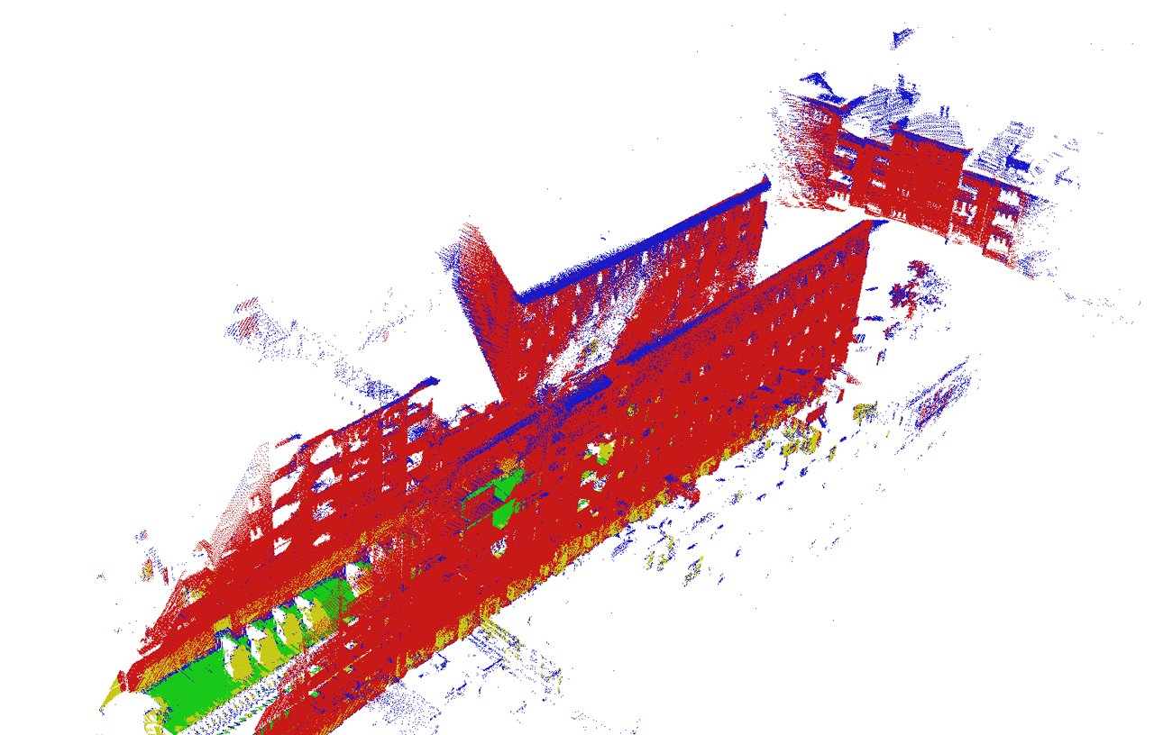
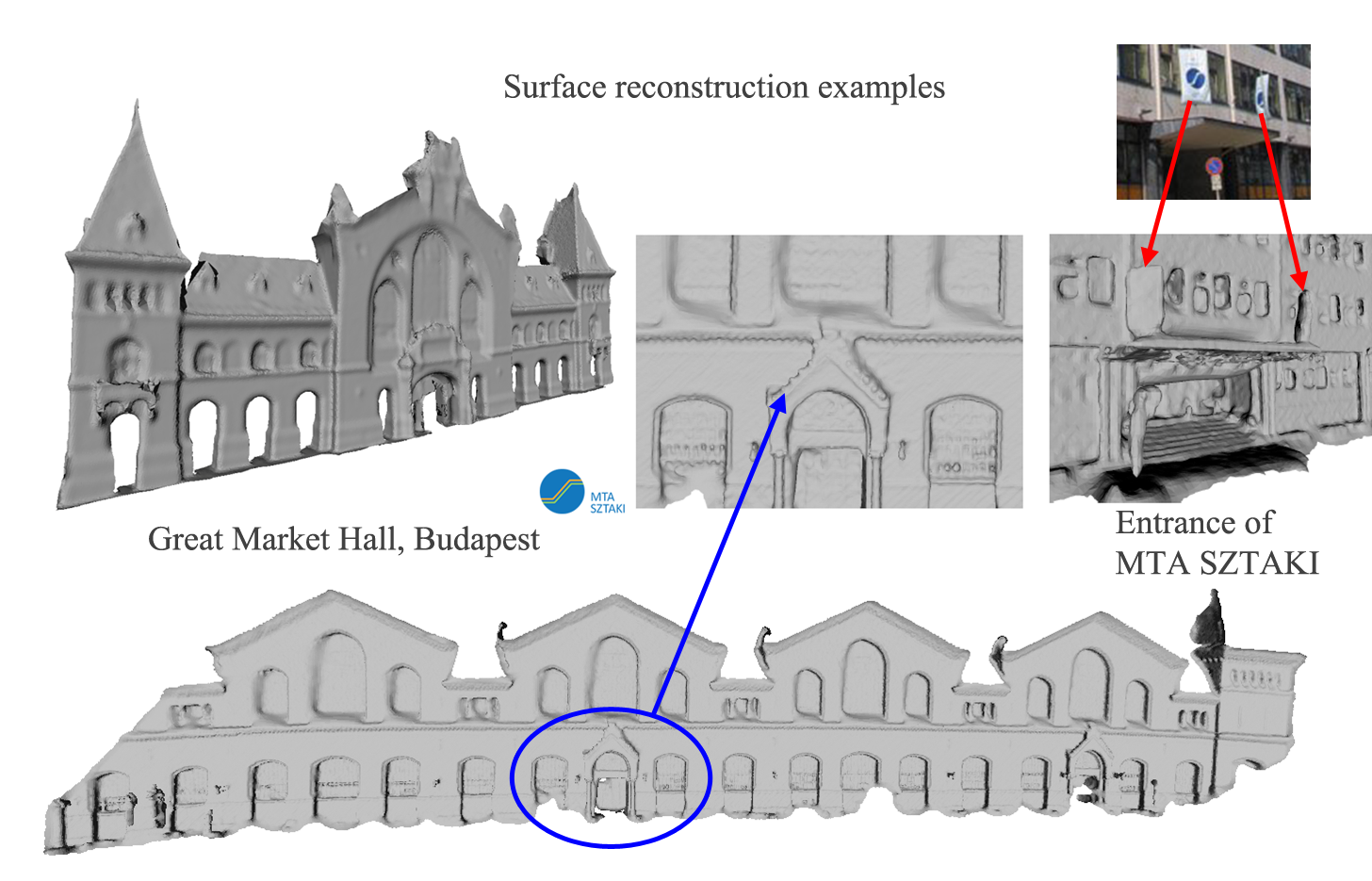
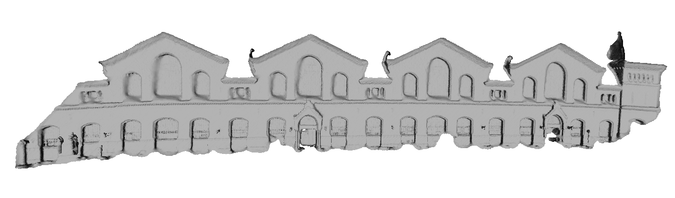
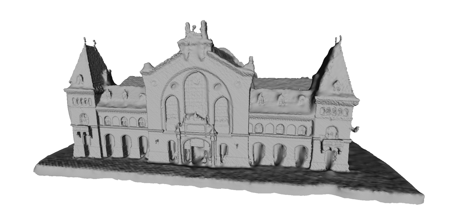
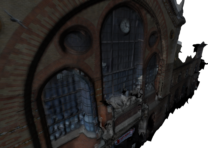
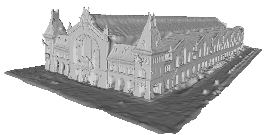
Virtual city modeling: 3D facade reconstruction and texturing
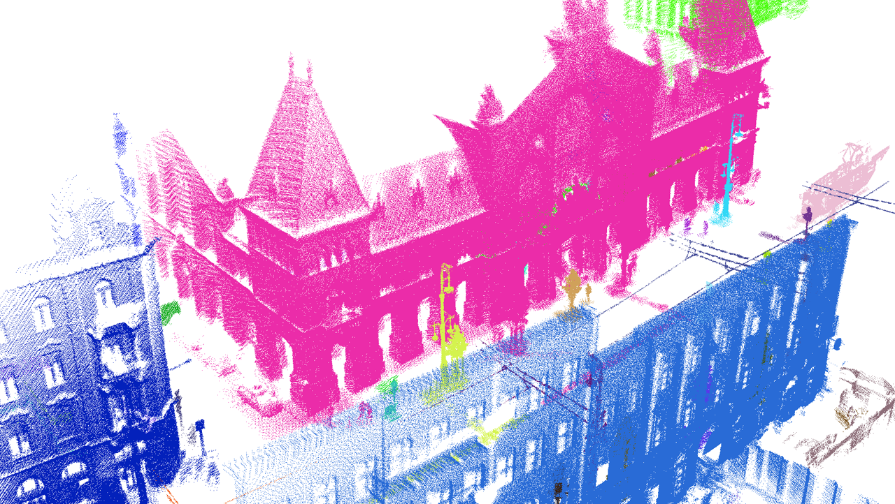
In this page, we demonstrate the virtual city reconstruction module of the i4D system. The presented point clouds and triangle meshes have been constructed by using a single Velodyne HDL-64E Lidar sensor which is mounted on the top of a moving car, i.e. neither GPS nor IMU devices have been utilized. Roofs of buildings are obtained by aerial Lidar measurements provided by Infoterra-Hungary under the DUSIREF Project. Texturing has been done in an offline mode with recorded photos.
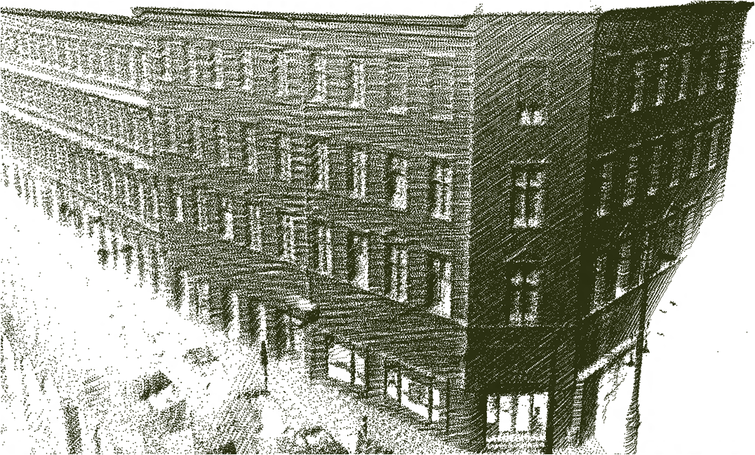
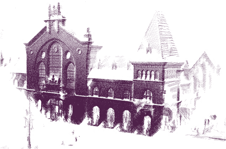
Gallery on landmark representation by point clouds and meshes

Links
Geo-Information Computing @ Machine Perception Lab.
GeoComp Demos:
Contact
GeoComp Group leader: Dr. Csaba Benedek benedek.csaba@sztaki.hu
i4D project manager: Dr. Zsolt Jankó janko.zsolt@sztaki.hu
Head of MPLab: Prof. Tamás Szirányi
MPLab administration: Anikó Vágvölgyi
Address:
SZTAKIKende utca 13-17
H-1111 Budapest, Hungary Tel: +36 1 279 6194
Fax: +36 1 279 6292